
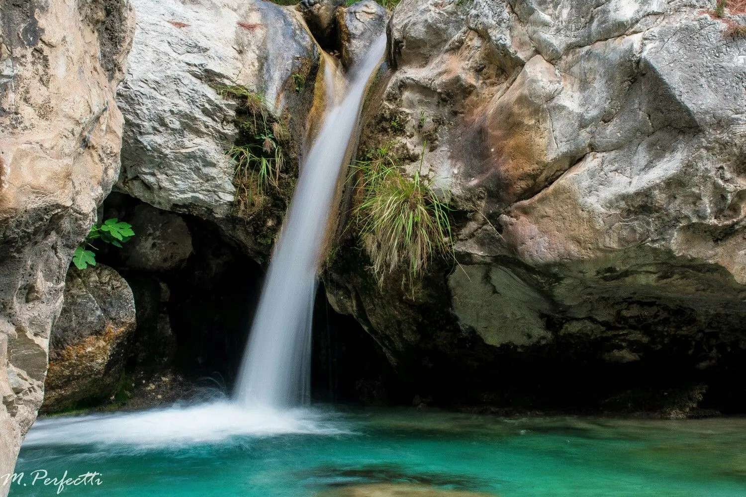
Río Chillar
Trail description
The Río Chillar is without doubt Nerja's most iconic and popular trail. This water route takes you along the riverbed itself, walking through the water for much of the way, surrounded by spectacular rock formations known as "Los Cahorros".
The trail begins in the San Fernando neighbourhood and follows the Río Chillar northward, heading into the Natural Park of the Sierras de Tejeda, Almijara y Alhama. Along the way, the water is generally ankle-deep, though in some sections it can reach your knees.
Los Cahorros are the most spectacular highlight: narrow canyons where sheer rock walls close in on both sides, creating a landscape of extraordinary beauty. Subtropical vegetation and local wildlife — including the Spanish ibex — accompany you throughout the entire route.
The trail can be finished at different points depending on your fitness level: the Vado de los Patos, the dam, or Los Cahorros themselves. The full route to the dam takes around 6–7 hours there and back.
How to get there
Starting point: Barrio de San Fernando, Nerja
Parking: Parking area next to the route start in the Barrio de San Fernando neighborhood. There is also parking in the Mirto area.
Open in Google MapsWarnings
The route runs along the riverbed and there is a risk of falls on slippery surfaces. Not recommended for babies, elderly visitors, or anyone with mobility difficulties. The trail is difficult for emergency services to access. There are no bins along the route — take all your rubbish back with you. Campfires are strictly prohibited. Picking fruit or plants from the surrounding area is not allowed.
Recommendations
Wear shoes that can get wet with non-slip soles (hiking boots are recommended — NO flip-flops or water shoes). Bring comfortable clothes you don't mind getting wet. Protect your phone with a waterproof case. Pack enough food and water for a full day out. A trekking pole is helpful on slippery sections. Wear a hat and sunscreen, especially in July and August. Keep your backpack light. If you're prone to chafing, wear sports leggings.
Points of interest
Vado de los Patos
Wading zone, first landmark of the route
point_of_interestLos Cahorros
Narrow canyons with vertical walls
point_of_interestLa Presa
Dam with natural pool, usual end point
point_of_interestFrequently asked questions
Keep exploring
Distance
16.0 km
Time
6h 30min
Elevation +
250 m
Elevation −
250 m
Max alt.
350 m
Min alt.
100 m