
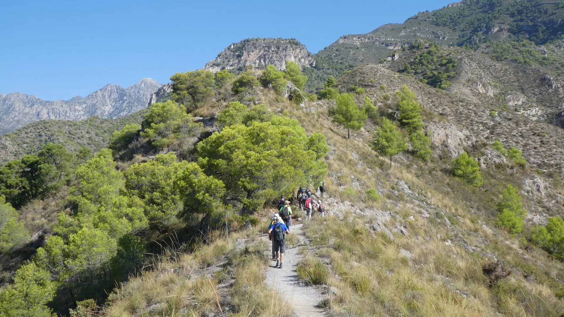
Nerja to Frigiliana (Historic Trail)
Trail description
The historic trail between Nerja and Frigiliana is one of the most enjoyable and culturally rich walks in the Axarquía region. This path, used for centuries by the people of both villages, connects the coast with the inland countryside through a landscape of tropical orchards and sugarcane fields.
The route begins in the upper part of Nerja and climbs gently along traditional tracks, surrounded by mangoes, avocados, cherimoyas, and other subtropical fruit trees that thrive in the area's unique microclimate.
As you gain altitude, the views gradually open up: behind you, the Mediterranean; ahead, the whitewashed village of Frigiliana cascading down the mountainside. The village, which has won multiple awards as the most beautiful in Andalusia, deserves a leisurely stroll through its cobbled alleyways and offers stunning panoramic views.
The trail passes alongside ancient irrigation channels of Arab origin and the ruins of an old sugarcane honey mill, a testament to the area's Moorish past. This is a perfect route for combining easy hiking with a rich cultural experience.
How to get there
Starting point: Upper part of Nerja (next to the high school)
Parking: Free parking on the streets in the upper area of Nerja. You can return by bus from Frigiliana.
Open in Google MapsWarnings
This is a one-way route with a steady uphill climb throughout. It can get hot in summer on exposed sections with little shade. For the return journey, consider taking the bus if you'd rather not walk back down.
Recommendations
A great route to pair with a visit to Frigiliana. You can walk one way and return by bus (Nerja–Frigiliana line, every 30 minutes). Bring water and sun protection. Don't miss the chance to try the local sugarcane honey in Frigiliana.
Points of interest
Huertas tropicales
Mango, avocado and custard apple crops
point_of_interestCasco antiguo de Frigiliana
White village awarded as the most beautiful in Málaga
villageFábrica de Miel de Caña
The only sugarcane honey factory remaining in Europe
monumentFrequently asked questions
Keep exploring
Distance
5.5 km
Time
2h
Elevation +
300 m
Elevation −
—
Max alt.
430 m
Min alt.
130 m