
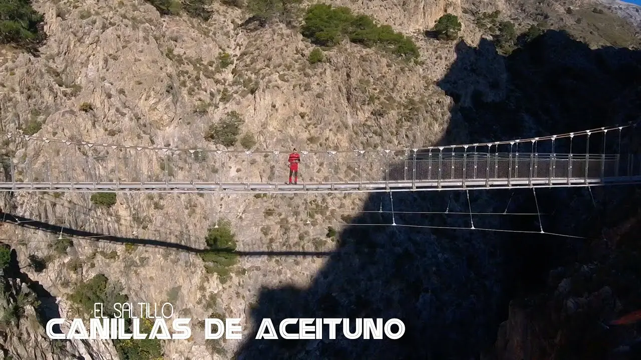
El Saltillo – Suspension Bridge
Trail description
The El Saltillo trail is one of the most thrilling hiking experiences in the entire province of Málaga. The undisputed highlight is its suspension bridge — a 50-metre walkway hanging above the Almanchares river gorge, connecting the villages of Canillas de Aceituno and Sedella.
The trail begins in Canillas de Aceituno, a charming white village in the Axarquía region, and descends into the river canyon. The path is well maintained, with wooden boardwalks, steps carved into the rock face, and safety railings along the most exposed sections.
The suspension bridge is the defining moment of the route: walking across a metal mesh platform 50 metres above the ground while watching the river flow between the sheer vertical walls of the gorge is a truly breathtaking experience. From the bridge, the views stretch across the entire canyon and the surrounding mountains.
After crossing the bridge, the trail continues along the opposite side of the canyon to Sedella, from where you can return by road or complete the full circular route. Throughout the walk, the turquoise waters of the river and lush vegetation create a landscape of raw, unspoilt beauty.
How to get there
Starting point: Canillas de Aceituno (trail parking)
Parking: Designated parking area in Canillas de Aceituno, next to the start of the trail. It fills up early on weekends.
Open in Google MapsWarnings
The suspension bridge has a metal mesh deck and is not suitable for people with vertigo. Some exposed sections have steep drop-offs on the sides. Not recommended in rain or strong wind. The bridge has a limited capacity.
Recommendations
Not recommended for those with a fear of heights. Proper hiking boots are essential. Arrive early on weekends as the car park fills up quickly. Bring water and a snack. A camera is a must.
Points of interest
Puente Colgante
50m metal footbridge over the canyon
bridgeDesfiladero del Almanchares
Impressive river gorge with vertical walls
canyonFrequently asked questions
Keep exploring
Distance
7.5 km
Time
3h 30min
Elevation +
350 m
Elevation −
350 m
Max alt.
700 m
Min alt.
350 m